100 Rare Nautical Sailing Navigation & Seamanship PDF Collection: Nautical Seamanship & Antique Sources
- ⚡ Fast Google Drive Delivery download link sent to email
- 📱 100% DRM-free PDF files for Kindle, iPad, Mac & PC
- 🔄 Free Updates Included: Auto-receive future newly restored volumes
- 🌍 Zero shipping fee & instant access worldwide
- 📦 Physical tested USB drive shipped to your door
- 🗄️ All 100 books pre-loaded & neatly organized
- 🔌 Plug-and-play permanent offline backup archive
- ⚡ Plus digital download link sent to your email
⚖️ Compare Digital vs. USB Features
| Feature | 📥 Digital ($9.95) | 💾 USB ($19.99) |
|---|---|---|
| Fast Delivery | ✅ Immediate link | ❌ Dispatched by mail (with instant download) |
| Physical Backup | ❌ (Cloud & local) | ✅ Pre-loaded USB |
| 100% Offline Access | ✅ Yes (Download once) | ✅ Yes (Plug & read) |
| Universal Formats (Kindle/iPad/PC) | ✅ PDF + EPUB | ✅ PDF + EPUB |
| Free Lifetime Updates | ✅ Google Drive Auto-Sync | ✅ Google Drive Auto-Sync |
| Shipping Cost | ✅ Free ($0.00) | Tracked standard shipping |
Combined antique value of 100 individual volumes (avg. ~$31 each) = $3104+ estimated. You receive the entire permanent collection for $9.95.
Buy once. Keep getting collection updates. Whenever our archival team discovers, restores, or high-res scans new historical volumes matching this collection, your Google Drive archive folder automatically receives the new files at zero extra charge.
You can request any individual title from this collection delivered to your inbox.
Request this book individually →Archive Statistics
Detailed bibliographic composition for historians, researchers, and collectors.
What's Inside This Collection
📚
Notable Highlight Titles & Catalog
Sample of featured master works included in your complete 100-volume library
-
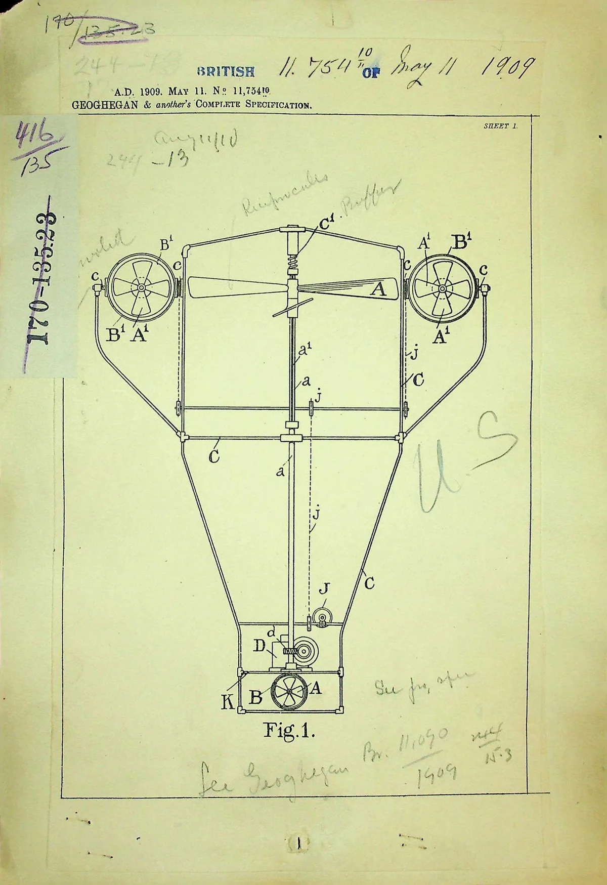
📖Geoghegan
-
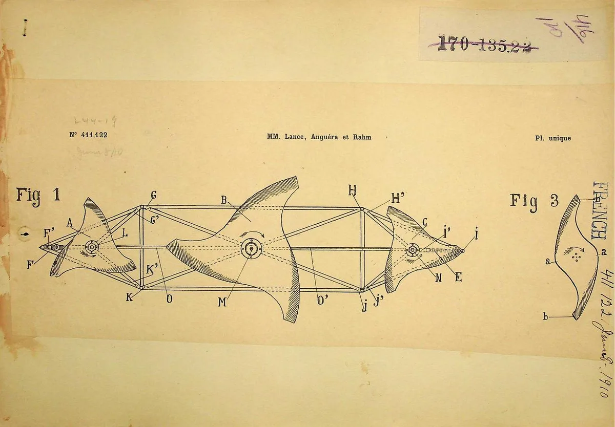
📖Lance
-
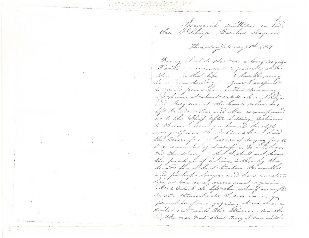
📖MS220 Log 250, Mary Matilda Taylor sailing journal
-
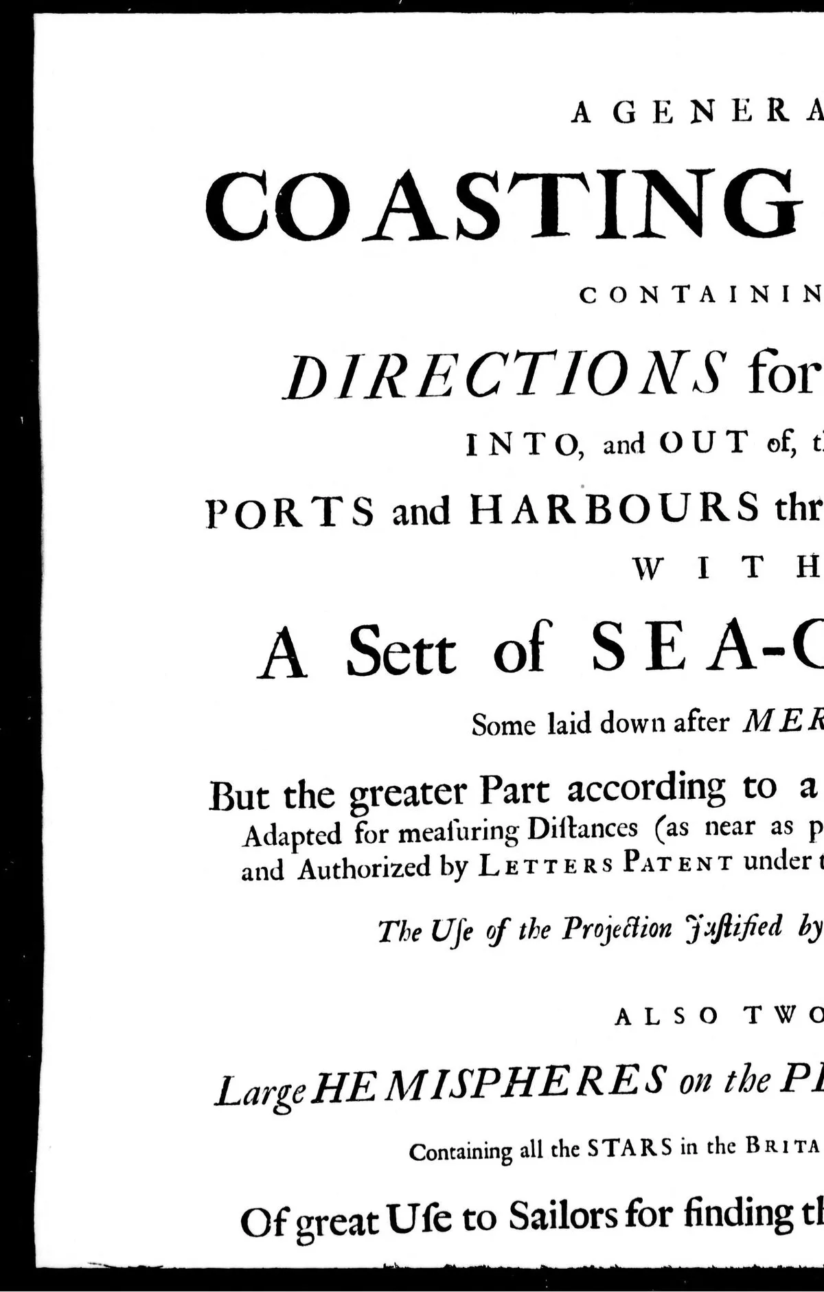
📖A general coasting pilot [microform] : containing directions for sailing into, and out of, the principal ports and harbours thro'out the known world : with a sett of sea-charts, some laid down after Mercator, but the greater part according to a new globular projection ... to all which are prefix'd directions to mariners ...
-
📖A dictionary, practical, theoretical and historical of commerce and commercial navigation [microform] : illustrated with maps and plans
-
📖Constitution, by-laws, sailing regulations, [etc.]
-
📖Report of select committee on the report from the commissioners on the improvement of the Saint Lawrence navigation [microform]
-
📖Treaty of amity, commerce, and navigation, between His Britannick Majesty and the United States of America [microform] : signed at London, the 19th of November, 1794
-
📖[Lettre] [microforme] : vous vous rappelez sans doute que j'ai été le premier à recontinuer la ligne de navigation entre Montréal et Chambly .
-
📖Recueil de voyages au nord [microforme] : contenant divers mémoires très-utiles au commerce & à la navigation
-
📖The Montreal, Ottawa and Georgian Bay navigation [microform] : supplementary report
-
📖The British American navigator, or, Sailing directory for the island and banks of Newfoundland, the gulf and river of St. Lawrence, Breton Island, Nova Scotia, the Bay of Fundy, and the coasts thence to the River Penobscot, &c. [microform]
-
📖Highlands of Ontario, Muskoka Lakes [microform] : Muskoka Navigation Company's guide book
-
📖A directory for the navigation of the North Pacific Ocean [microform] : with descriptions of its coasts, islands, etc., from Panama to Behring Strait and Japan ; its winds, currents, and passages
-
📖A directory for the navigation of the North Pacific Ocean [microform] : with descriptions of its coasts, islands, etc., from Panama to Behring Strait and Japan, its winds, currents, and passages
-
📖Thompson's coast pilot and sailing directions for the north-western lakes [microform] : from Ogdensburg to Buffalo, Chicago, Green Bay, Georgian Bay and Lake Superior, including all the river navigation, courses and distances on each lake, with directions for entering all the principal harbors thereon : also a description of lights and light-houses ... , harbors completed and in progress of construction ... and other valuable maritime suggestions ...
-
📖The marine steam engine. Its construction, action and management. A manual and book of reference for ... all interested in steam navigation ..
-
📖The history of North Atlantic steam navigation, with some account of early ships and shipowners
-
📖Coastal navigation; or, Notes on the use of charts
-
📖Alfred Mills, Reed's building, Water St., Saint John, New Brunswick [microform] : dealer in nautical instruments, books, charts, &c. chronometers accurately rated
-
📖Montreal, Ottawa and Georgian Bay Canal [microform] : twenty foot navigation from the Great Lakes to the Atlantic
-
📖The Gulf of Aden Pilot 3rd Edition 1887. Containing a description of Sokotra and adjacent Islands, Somali and Arabian coasts in the Gulf of Aden, and the east coast of Arabia [Sailing directions, Great Britain Admiralty]
-
📖Recueil de voyages au nord [microforme] : contenant divers mémoires très utiles au commerce & à la navigation
-
📖The Conquest of the Air: Or, The Advent of Aerial Navigation
-
📖A digest of the decisions of the Treasury department relating to the tariff, navigation, &c., from 1872 to 1882, inclusive, with the tariff on imports into the United States and the free list, indexed, and the Hawaiian reciprocity treaty
-
📖Essai sur la theorie des torrens et des rivieres, contenant les moyens les plus simples d'en empecher les ravages, d'en retrecir le lit & d'y faciliter la navigation, le hallage & la flottaison. Accompagne d'une discussion sur la navigation interieure de la France; et termine par le projet de rendre Paris, port maritime, en fais
-
📖When The Fleet Comes Sailing Home
-
📖The art of rigging, containing an explanation of terms and phrases and the progressive method of rigging expressly adapted for sailing ships. : With an introd. by Ernest H. Pentecost
-
📖A treatise on navigation, and nautical astronomy : adapted to practice, and to the purposes of elementary instruction; with an extensive series of examples for exercise, and all the tables resquisite in nautical computations
-
📖Historical account of the navigable rivers, canals, and railways, of Great Britain : as a reference to Nichols, Priestley & Walker's new map of inland navigation
-
📖The India Directory Or, Directions for Sailing to and from the East Indies, China, Australia, and the Interjacent Ports of Africa and South America
-
📖A treatise on trigonometry, plane and spherical : with its application to navigation and surveying, nautical and practical astronomy and geodesy, with logarithmic, trigonometrical, and nautical tables for the use of schools and colleges.
-
📖Elements of plane and spherical trigonometry : with their applications to mensuration, surveying, and navigation
-
📖The claim and answer with the subsequent proceedings in the case of Andrew Allen, Esquire, against the United States [microform] : under the sixth article of the Treaty of Amity, Commerce and Navigation, between His Britannic Majesty and the United States of America
-
📖Lettre des commissaires des canaux à l'Honorable Secrétaire d'État au sujet de l'amélioration de la navigation intérieure du Canada [microforme]
-
📖Vancouver, le plus grand port du Pacifique [microform] : ses progrè s en 25 ans : l'ouverture à la navigation du Canal de Panama fera de Vancouver l'un des plus grands ports du monde
-
📖Report of Charles W. Fairbanks, engineer of the Inland Navigation Company [microform] : adopted at the annual meeting of the company, held on the 4th April, 1855
-
📖By-laws and sailing rules [microform]
-
📖Historical sketch of the progress of discovery, navigation, and commerce, from the earliest records to the beginning of the nineteenth century [microform]
-
📖Extracts from the laws of Lower Canada [microform] : by-laws and regulations of the Trinity House concerning pilots and others, and the navigation of the river St. Lawrence
-
📖McMillan's agricultural and nautical almanac for 1889 [microform] : with astronomical tables adapted to the provinces of New Brunswick and Prince Edward Island
-
📖Cases selected from those heard and determined in the Vice-Admiralty Court at Quebec [microform] : involving questions of maritime law of frequent occurence [sic] in the trade and navigation of the river and gulf of St. Lawrence ; with an appendix containing the imperial statutes specially relating to Vice-Admiralty courts, and the rules of practice observed in them, as established by order-in-council
-
📖Uttmark's guide to the United States local inspectors examination for masters and mates of ocean going steam and sailing ships
-
📖An historical account of the rise, progress and present state of the canal navigation in Pennsylvania : with an appendix, containing, abstracts of the acts of the legislature since the year 1790, and their grants of money for improving roads and navigable waters throughout the state ; to which is annexed, "an explanatory map"
-
📖Rapport fait au nom de la commission chargée d'examiner l'état de situation des canaux de navigation
-
📖A catechism of the steam engine and its various applications to mines, mills, steam navigation, railways, and agriculture
-
📖History of Propellers and Steam Navigation: With Biographical Sketches of the Early Inventors
-
📖Recueil des traités de commerce et de navigation de la France avec les puissances étrangères, depuis la paix de Westphalie, en 1648, suivi du recueil des principaux traités de même nature conclus par les puissances étrangères entre elles, depuis la même époque;
-
📖The treaty of amity, commerce, and navigation between Great Britain and the United States, 1794
-
📖The light of navigation, ... 1620
-
📖A compleat system of navigation: in two parts. 1750
-
📖The whole art of navigation;... 1686
-
📖A new account of the East Indies, being the observations and remarks of Capt. Alexander Hamilton, who spent his time there from the year 1688. to 1723. Trading and travelling, by sea and land, to most of the countries and islands of commerce and navigation, between the Cape of Good-hope, and the Island of Japon. ... 1727: Vol 1
-
📖A new catalogue of the best charts, pilots, and navigation books, 1800. Sold wholesale, retail, and for exportation, by Heather and Williams, at their sea-chart, map, and mathematical instrument warehouse, No. 157, Leadenhall-street, ... 1800
-
📖A review of all that hath pass'd between the courts of Great Britain and Spain, relating to our trade and navigation from the year 1721, to the present convention; ... 1739
-
📖Recueil de voiages au nord, contenant divers mémoires très utiles au commerce et à la navigation
-
📖Guide des marins pendant la navigation nocturne, ou, Description générale des phares, fanaux ...
-
📖Instructions sur la navigation des Indes Orientales et de la Chine ... par M. d'Après de Mannevillette ..
-
📖Astronomia accurata; or The royal astronomer and navigator. Containing new improvements in astronomy, chronology, and navigation. Particularly new and correct solar and lunar tables; with precepts and examples of their use, according to old or new style ... The seaman's ready computer, or new and easy navigation ..
-
📖A sailing directory for the Ethiopic or South Atlantic ocean, including the coasts of South America and Africa
-
📖1903 Astoria Ninth Annual Regatta Souvenir Programme: Astoria Regatta, Street Fair, and Carnival: Containing the Programme, Prizes, Courses, Sailing Rules, List of Officers, and other matters pertaining to this Great Carnival
-
📖Memorial of the citizens of Cincinnati, to the Congress of the United States, relative to the navigation of the Ohio and Mississippi rivers
-
📖Anniversary of American commerce : ter-centenary of the building of the "Virginia," the first ship constructed on the western continent ; centennial of the "Clermont," first steamboat in the world ; the rise of the American Merchant Marine and the devolpment of a century of navigation since Robert Fulton
-
📖Essai sur la navigation sous-marine
-
📖The arte of Navigation, ... 1584
-
📖A brief examination into the increase of the revenue, commerce, and navigation, of Great Britain, since the conclusion of the peace in 1783. 1793
-
📖A digest of all the laws relating to the customs, to trade, and navigation; with a short historical dissertation concerning the ... collection of the ancient revenue of the Crown. By Samuel Forster, ... 1727
-
📖The nautical almanac and astronomical ephemeris, for the year 1771. Published by order of the Commissioners of Longitude. 1769
-
📖Treaty of amity, commerce, and navigation, between His Britannic Majesty and the United States of America; by their President, with the advice and consent of the Senate, Nov. 19, 1794. 1795
-
📖Histoire du commerce et de la navigation à Bordeaux, principalement sous l'administration anglaise
-
📖A short view, of the act of navigation. 1691
-
📖The nautical almanac and astronomical ephemeris, for the year 1788. Published by order of the Commissioners of Longitude. 1783
-
📖The nautical almanac and astronomical ephemeris, for the year 1788. Published by order of the Commissioners of Longitude. 1787
-
📖The second edition [considerably enlarged] of A treatise on practical seamanship; with new and important hints and remarks relating thereto; ... 1787
-
📖A treaty of commerce, navigation and marine affairs, ... 1699
-
📖Dictionnaire moderne des termes de marine et de la navigation à vapeur par le ch.er Lemetheyer
-
📖An historical discourse of the firth invention of navigation. ... 1661
-
📖Doubts concerning the free navigation of the Scheld claimed by the Emperor, and the probable causes and consequences of that claim. In which the views of his Imperial Majesty, and of the Empress of Russia are clearly pointed out, ... By the Count de Mirabeau. Illustrated with a correct chart ... 1785
-
📖The nautical almanac and astronomical ephemeris, for the year 1778. Published by order of the Commissioners of Longitude. 1776
-
📖The interests of Ireland considered, stated, and recommended, particularly with respect to inland navigation. 1759
-
📖An history of marine architecture. Including an enlarged and progressive view of the nautical regulations and naval history, both civil and military, of all nations, especially of Great Britain; derived chiefly from original manuscripts, ... from the earliest period to the present time. In three volumes. ... By John Charnock, Esq. F.S.A. 1801: Vol 2
-
📖An history of marine architecture. Including an enlarged and progressive view of the nautical regulations and naval history, both civil and military, of all nations, especially of Great Britain; derived chiefly from original manuscripts, ... from the earliest period to the present time. In three volumes. ... By John Charnock, Esq. F.S.A. 1802: Vol 3
-
📖Navigation spiritualized; or, a new compass for seamen. To which are added, serious warnings against the sins of drunkenness, swearing, uncleanness, forgetfulness of mercies, and contempt of death. By John Flavel, ... 1791
-
📖The elements of navigation; containing the theory and practice. With the necessary tables, ... To which is added, A treatise of marine fortification. ... In two volumes. ... By J. Robertson, ... The sixth edition, with additions. Carefully revised and corrected by William Wales, ... 1796: Vol 2
-
📖Remarks on the reasonings and different opinions laid down in some late printed proposals for restoring the navigation of the ports of King's-Lynn and Wisbich; and draining of the great levels, which have the outfall of their waters by the rivers Ouse and the Nean, thro Mortons-Leam. ... 1725
-
📖The British fishery recommended to Parliament. Shewing the great importance of it, to the trade and navigation of this kingdom: ... With an exact map of the coasts of Great Britain; ... 1734
-
📖Treaty of amity, commerce, and navigation, between His Britannick Majesty and the United States of America, signed at London, the 19th of November, 1794. ... 1795
-
📖A list of the proprietors of the Soar Navigation, for the year, 1785. 1785
-
📖Certain new hypotheses, or fundamental principles, for the perspicuous illustration, and additional improvement (if not compleat perfection) of the present system of geometry, and particularly of hydrometry and navigation, ... by means whereof the distance and longitude at sea, as well as at land, are discover'd and determin'd, ... By Henry Kindon, ... 1717
-
📖Annual Statement of the Trade and Navigation of the Presidency of Bombay, for the year 1877-78; prepared in the Office of Commissioner of Customs, Opium and Abkari, and Reporter General of External Commerce, Vol. II
-
📖An historical account of the rise, progress and present state of the canal navigation in Pennsylvania. ... 1795
-
📖Epitome of the art of navigation; or, a short, easy and methodical way to become a compleat navigator: ... By James Atkinson, revis'd, and corrected, ... by William Mountaine, ... 1747
-
📖Facts and arguments respecting the great utility of an extensive plan of inland navigation in Ireland. With an appendix, ... By a friend to national industry. 1800
-
📖Considerations upon the eighth and ninth articles of the treaty of commerce and navigation, now publish'd by authority. With some enquiries into the damages that may accrue to the English trade from them. 1713
-
📖Sailing directions for the island of Jamaica and St. Domingue, or Hispaniola, and the windward passages, to be used with the charts and plans that are published from surveys and observations, ... By John Leard, ... 1792
-
📖The mariner's compass rectified: containing tables, ... with the description and use of those instruments most in use in the art of navigation ... 1746
-
📖Report on the improvement of the harbour of Arklow and the practicability of a navigation from thence by the vales of the various branches of the ... 1792
-
📖An account of the navigation between India and the Gulpn of Persia, ... 1786
-
📖Inland navigation, or select plans of the several navigable canals, throughout Great Britain: accompanied with abstracts of the different Acts of Parliament relative to them; ... 1795
-
📖3 Nautical Songs, F.265
Who Is This Collection For?
Comprehensive access to out-of-print historical primary sources and unabridged scans.
Authentic historical methods, recipes, engineering diagrams, and workshop techniques.
A priceless permanent offline library ready for reading on Kindle, iPad, or storage on physical USB.
Customer Reviews & Ratings
Invaluable primary source engineering texts from the golden era of steam railways. Perfect high-DPI scans that zoom without pixelation.


Frequently Asked Questions
How will my collection be delivered?
For Digital delivery: Once payment is confirmed, a Google Drive folder link containing all the books in the collection is emailed to you (delivered instantly up to 8 hours). For USB delivery: We pre-load the collection onto a USB drive and mail it to your address; shipping times vary depending on the destination country.
Are there any recurring costs?
No. This is a one-time purchase. Once you buy a collection, it is yours to keep forever.
What format are the books in?
The books in the collection are supplied in standard e-reader friendly formats (primarily EPUB and PDF) so you can read them on any device (Kindle, iPad, Kobo, phone, or computer).
Are these books copyright-free?
Yes! All books in our collections are curated from public domain and copyright-free literature, making them completely legal to download, share, and own.